San Francisco Map (1848)
San Francisco Map (1848)
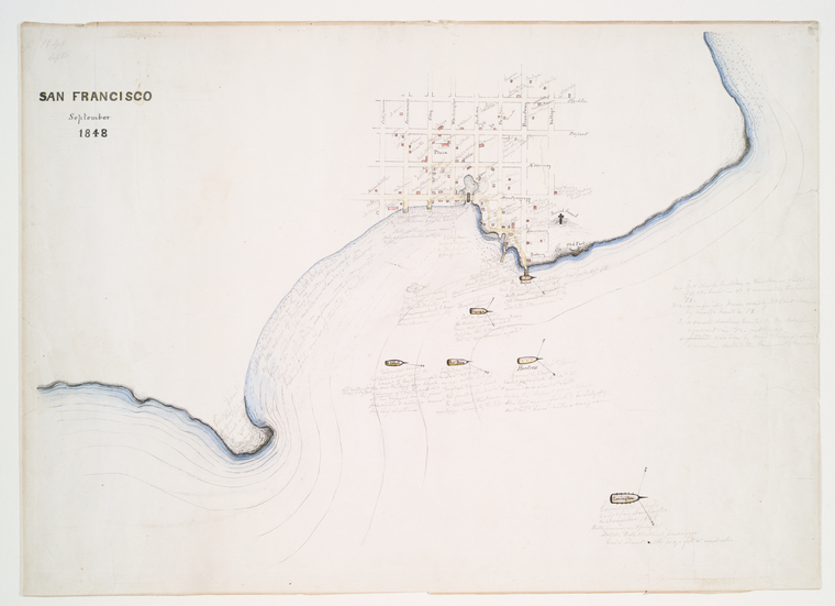
Detailed map of San Francisco in September 1848, showing the city's layout, waterways, and surrounding geography.
Date: 1843 Location: Harlem River, New York City Type: map Subjects: San Francisco, map, waterways, city layout Text visible in image: SAN FRANCISCO September 1848
Source: NYPL / F.B. Tower, Illustrations of the Croton Aqueduct License: Public domain
— NOTE: This entry was generated from photo metadata using AI vision analysis and automated tools. Details may contain errors. Refer to the original source for authoritative information.