Home /
Internet Archive / Wikimedia Commons /
Passage
Map of the Vicinity of New York
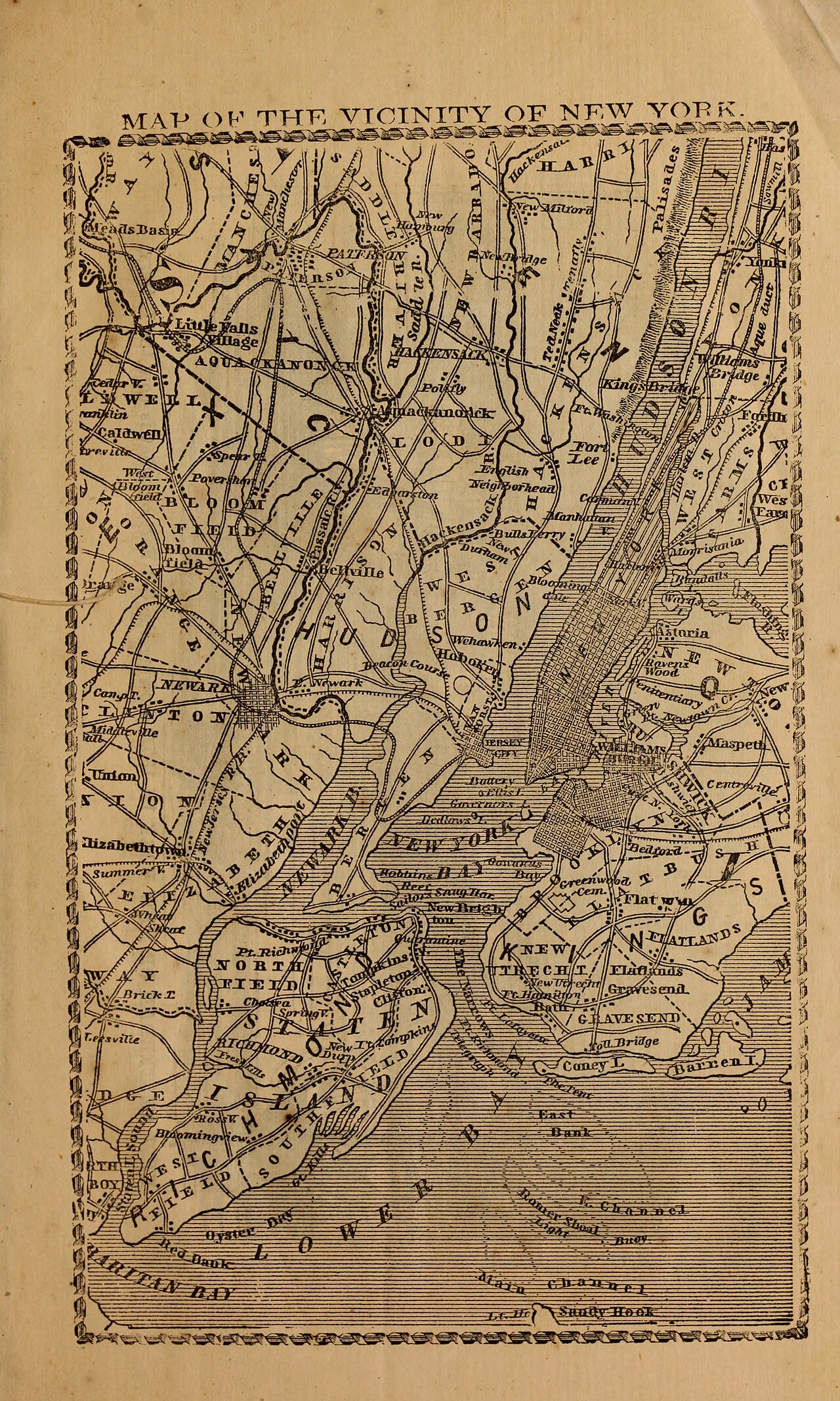
Map of the Vicinity of New York
A detailed map showing the vicinity of New York City, including parts of New Jersey and New York State. The map displays various locations, roads, and bodies of water in the area.
Date: 1857 Type: map Subjects: map, New York City, New Jersey, New York State Text visible in image: MAP OF THE VICINITY OF NEW YORK
Source: Internet Archive / Wikimedia Commons License: Public domain
— NOTE: This entry was generated from photo metadata using AI vision analysis and automated tools. Details may contain errors. Refer to the original source for authoritative information.