Sanborn Fire Insurance Map — Croton-on-Hudson (1903)
Sanborn Fire Insurance Map — Croton-on-Hudson (1903)
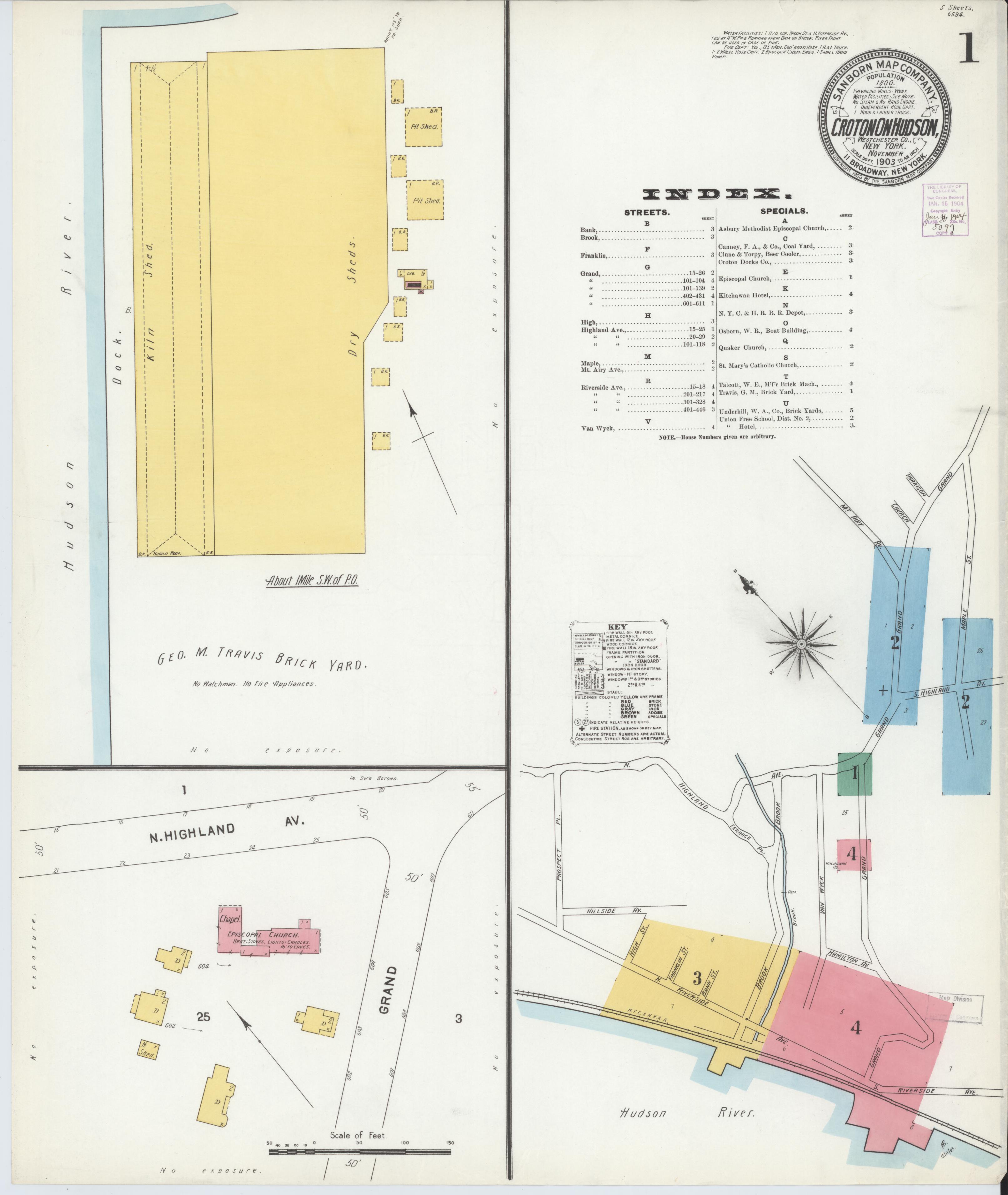
The earliest Sanborn map of Croton-on-Hudson, showing the village layout in 1903 during the final years of New Croton Dam construction. Sanborn maps documented building construction materials, dimensions, and uses for fire insurance underwriters. They are invaluable records of historic village development.
Date: 1903 Location: Croton-on-Hudson, NY Type: map Subjects: Hudson River, Croton-on-Hudson, buildings, streets, properties Text visible in image: Sanborn Map Company, Croton-on-Hudson, New York, November 1903, 5 Sheets 658x600
Source: Library of Congress, Geography and Map Division License: Public domain
— NOTE: This entry was generated from photo metadata using AI vision analysis and automated tools. Details may contain errors. Refer to the original source for authoritative information.