Military Map: Frog's Point to Croton River (1776)
Military Map: Frog's Point to Croton River (1776)
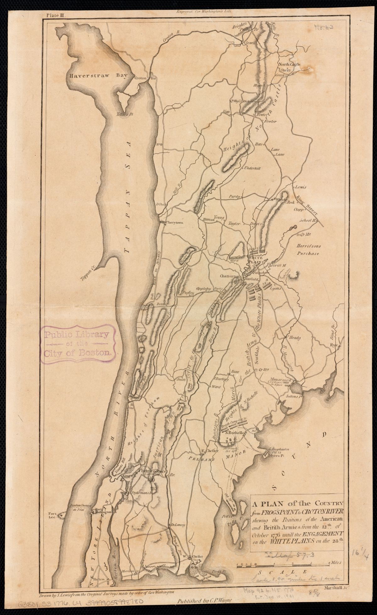
Revolutionary War map showing American and British army positions from Frog's Point to the Croton River, October 12-28, 1776. Shows the Croton Ferry crossing and military fortifications in the Neutral Ground.
Date: 1776 Location: Westchester County, NY (Frog's Point to Croton River) Type: map Subjects: river, bay, heights, military positions, Croton Ferry Text visible in image: A PLAN of the Country from FROGS POINT to CROTON RIVER shewing the Positions of the American and British Armies from the 12th of October 1776 until the ENGAGEMENT on the WHITE PLAINS on the 28th
Source: Leventhal Map Center, Boston Public Library License: No known copyright restrictions
— NOTE: This entry was generated from photo metadata using AI vision analysis and automated tools. Details may contain errors. Refer to the original source for authoritative information.