Home /
NY Heritage Digital Collections /
Passage
Croton Aqueduct — Croton Aqueduct Map Watershed 1858
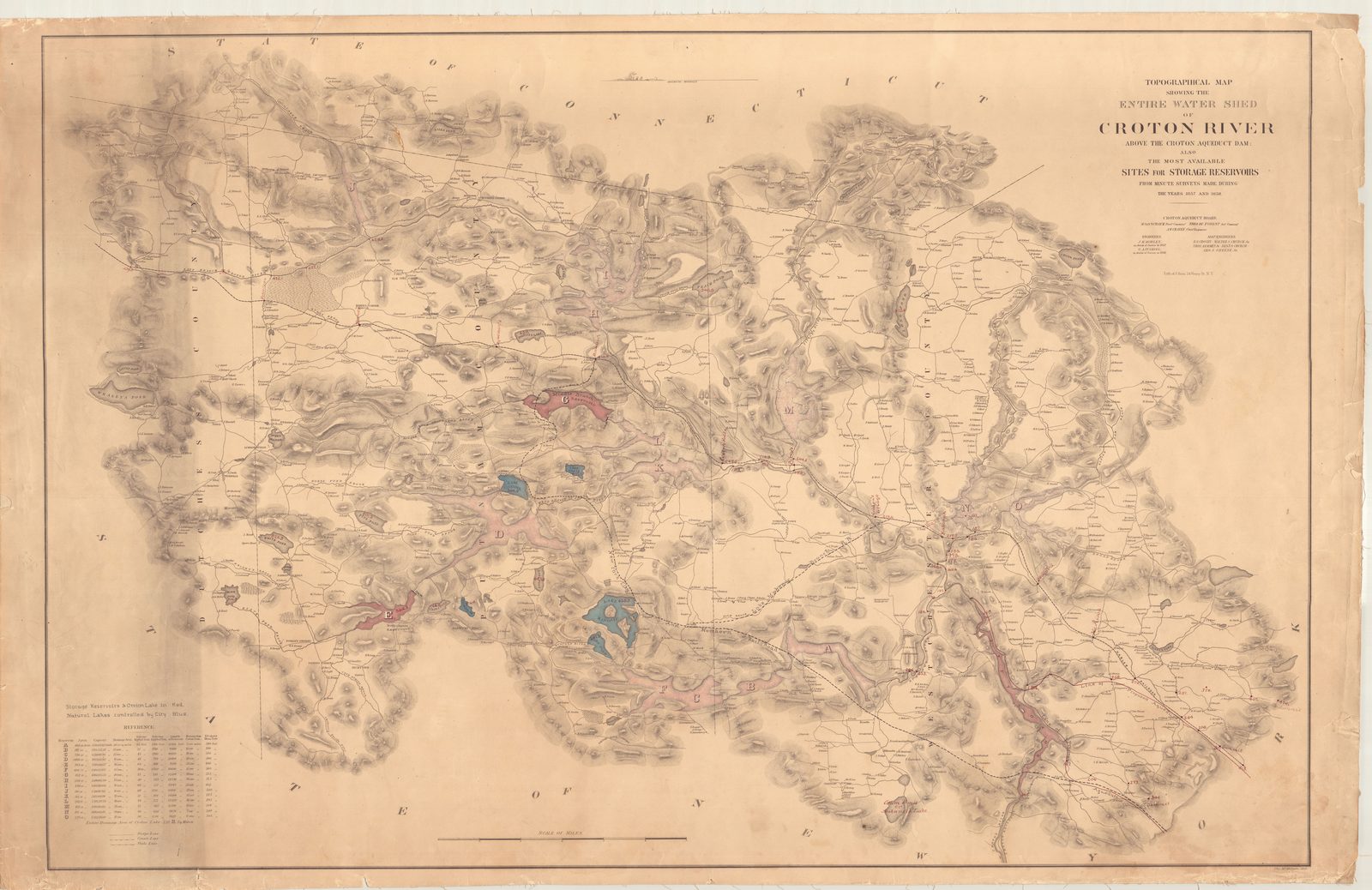
Croton Aqueduct — Croton Aqueduct Map Watershed 1858
Engineering drawing or plan from the Croton Aqueduct collection.
Date: 1858 Location: Croton-on-Hudson, NY Type: map Subjects: Croton River, watershed, reservoirs, topographical map Text visible in image: TOPOGRAPHICAL MAP SHOWING THE ENTIRE WATERSHED OF CROTON RIVER ABOVE THE CROTON AQUEDUCT DAM AND THE MOST AVAILABLE SITES FOR STORAGE RESERVOIRS FROM ROUTES SURVEYED IN AND 1858
Source: NY Heritage Digital Collections License: Public domain
— NOTE: This entry was generated from photo metadata using AI vision analysis and automated tools. Details may contain errors. Refer to the original source for authoritative information.