1867 Atlas of North Salem, NY
1867 Atlas of North Salem, NY
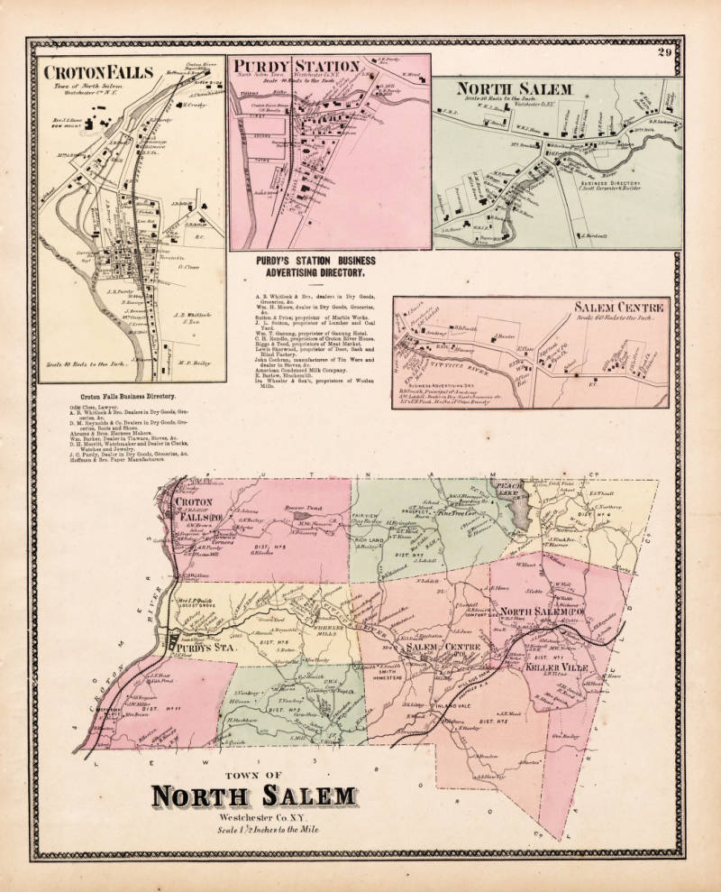
This image shows a page from an 1867 atlas featuring maps of various areas in Westchester County, New York, including Croton Falls, Purdy Station, North Salem, Salem Centre, and a larger map of the Town of North Salem.
Date: 1867 Location: Verplanck/Croton Point, NY Type: map Subjects: maps, North Salem NY, Croton Falls, Purdy Station, Salem Centre Text visible in image: CROTON FALLS, PURDY STATION, NORTH SALEM, SALEM CENTRE, TOWN OF NORTH SALEM, Westchester Co. N.Y. Scale 1/8 Inches to the Mile
Source: Westchester County Archives Digital Collections (p17286coll1) License: Public domain
— NOTE: This entry was generated from photo metadata using AI vision analysis and automated tools. Details may contain errors. Refer to the original source for authoritative information.