1867 Westchester County Atlas - Bedford Town Detail
1867 Westchester County Atlas - Bedford Town Detail
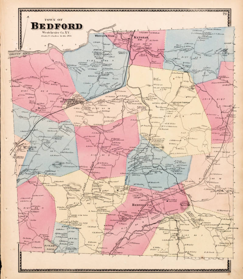
This image shows a detailed section of the 1867 Westchester County Atlas, focusing on the Town of Bedford. The map displays various districts in different colors, including Bedford, Cortlandt, and others, with labeled roads, districts, and properties.
Date: 1867 Location: Croton-on-Hudson, NY Type: map Subjects: map, Westchester County, Bedford Town, districts, properties Text visible in image: TOWN OF BEDFORD Westchester Co. N.Y. Scale 1/2 inch to the mile
Source: Westchester County Archives Digital Collections (p17286coll1) License: Public domain
— NOTE: This entry was generated from photo metadata using AI vision analysis and automated tools. Details may contain errors. Refer to the original source for authoritative information.