Province of New York Map (1776)
Province of New York Map (1776)
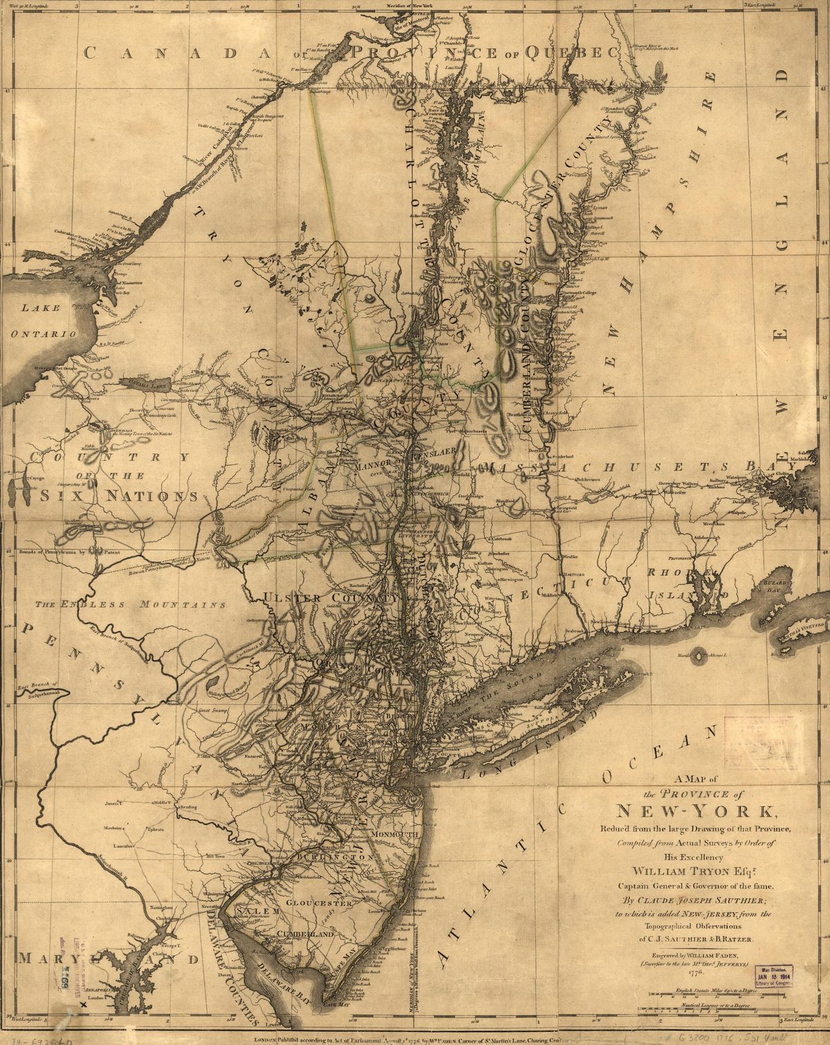
Map of the Province of New York during the Revolutionary War era, showing Westchester County — the contested 'Neutral Ground' between American and British lines.
Date: 1776 Type: map Subjects: river, county, ocean, map grid Text visible in image: A MAP of the PROVINCE of NEW-YORK, Reduced from the large Drawing of that Province, Compiled from Actual Surveys by Order of His Excellency WILLIAM TRYON Esqr. Captain General & Governor of the fame. By CLAUDE JOSEPH SAUTHIER; to which is added NEW JERSEY, from the Topographical Observations of C.J. Sauthier & Ratzer. Engraved by WILLIAM PARDEN. (Stamped) Entered according to Act of Parliament.
Source: Library of Congress License: Public domain
— NOTE: This entry was generated from photo metadata using AI vision analysis and automated tools. Details may contain errors. Refer to the original source for authoritative information.