New Netherland and New England Map (1662)
New Netherland and New England Map (1662)
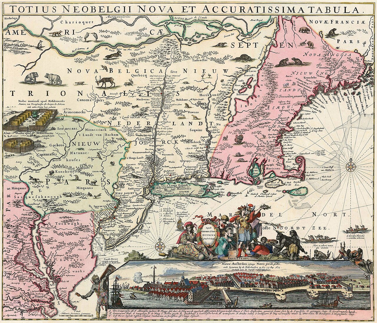
This map shows the eastern coast of North America, focusing on New Netherland (present-day New York) and New England. It features the Hudson River, Native American territories, and early Dutch and English settlements. The map includes decorative elements such as animals, a compass rose, and a cityscape view of New Amsterdam.
Date: 1662 Type: map Subjects: river, Native American territories, early settlements, map ornaments Text visible in image: TOTIUS NEOBELGII NOVA ET ACCURATISSIMA TABULA
Source: Wikimedia Commons License: Public domain
— NOTE: This entry was generated from photo metadata using AI vision analysis and automated tools. Details may contain errors. Refer to the original source for authoritative information.